At a glance
- Esri's Utility Network allows organisations to visualise, analyse and edit complex networks at a level of detail never before possible.
- Transitioning to the Utility Network will deliver the ability to define connectivity relationships and trace the impact of events on the network in a way that's not possible with the current Utility and Pipeline Data Model or standard shapefile formats.
- Ensuring the spatial quality and establishing the right data hierarchy is critical to a successful transition.
- COSOL has the experience, expertise and resources to ensure implementing Utility Network delivers the results you're looking for – from tracing a water outage through to all impacted end-users, to smart workflow streaming and beyond.
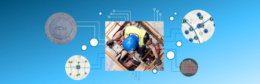
Organisations that manage a network of interconnected assets face some unique challenges. Different asset types are interconnected over large distances, and a failure at any one point can have flow-on effects for huge numbers of related components and ultimately end-users.
Esri's ArcGIS Utility Network is designed to support power, water and gas utilities through these challenges as a next-generation spatial information system that provides greater functionality over massive datasets at every scale of resolution. It allows organisations to visualise, analyse and edit complex networks at a level of detail never before possible.
The benefits for utility operators are clear, but we all have some war stories about the challenges inherent in large enterprise system implementations and upgrades: complex migration processes, changes in database structure, and the inevitable difficulties faced in maintaining integrations between systems.
So given these complexities, why should organisations be thinking about implementing Esri Utility Network? Benefit realisation around new technologies is fast becoming a major area of interest, particularly in the asset management realm. Systems that enable an enhanced level of understanding, offer powerful analytics and improve the service provided to the end customer are critical to organisations seeking to improve and grow their asset management maturity and their benefits clearly outweigh the risk of a difficult implementation.
Esri’s Utility Network application does just this. The Utility Network, at its core, is a data model accompanied by a set of business rules. These rules reflect the way in which your infrastructure operates in reality. With the power to model multiple domains (Water, Wastewater, Stormwater and Recycled water for example) and complete cross-domain tracing, there is now the ability to work with complex systems like never before.
Why Change Now?
The Esri Utility Network takes your GIS data and gives it an extreme makeover. With new nomenclature that is easily applied across your asset and domain types, old toolbars have been replaced with ribbon and toolbox functionality and enhanced track and trace toolsets, all of which means that your valuable data is translated into critical information through the power of rules and relationships.
Many organisations still hold their Asset spatial data within an ArcMap or ArcPro Utility and Pipeline Data Model, or within standard Esri shapefile format. Transitioning to the Utility Network will deliver the ability to define connectivity relationships among your assets. These relationships, or rules, will allow your organisation to trace the impact of events on your network.
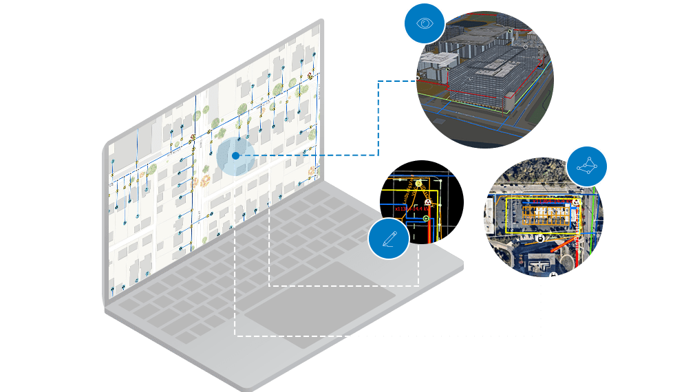
Envision having the ability to generate a trace report that highlights the exact properties that will be impacted by a Water Outage with a simple tool. Utility infrastructure has a high rate of interdependency, which can be modelled within the Utility Network Model. Conducting investigations to understand the impact of sewerage overflows of your stormwater or road drainage network are completed easily and quickly using cross-domain tracing tools.
There is also of course the pressure caused by technological redundancy. The Utility Network replaces Esri’s Geometric Network model, formal support for which looks set to end in line with the end of support for 10.6.1 in January 2024, placing time pressure on organisations currently using the Geometric Network.
The benefits of employing a modelling system as powerful as the Utility Network reach further than simply understanding the flow of your resources through a network. There is incredible power in the ability to model the impact of cross-domain interoperability. There is also the ability to connect your model with real-time data sources, such as telemetry SCADA and monitoring equipment, giving you a real-time understanding of the demand on your networks.
Outside of the daily business operations to maintain reliable supply for end customers, we are empowered through the Utility Network to proactively plan for and understand the impact of emergency events. The Utility Network model has the capacity to model the impact of widespread events such as floods, power outages, sewerage blockages, water contamination and more. Imagine having the ability to model the impact of a potential contamination event and notify your end-users immediately. The benefits for such a situation run much deeper than financial, they extend to the health and wellbeing of the communities you serve.
What do I need to do to Change?
Data is critical to the process of transitioning to the Utility Network. It has specific requirements regarding data structure, as well as the connectivity and topology relationships. The data hierarchy requires a tightly controlled structure, which is the foundational building block for your Utility Network system. It’s also critical that the spatial quality of your data is high; objects that should be snapped, are snapped, and free of overlaps. Geometry that is not snapped or is overlapping will result in poor results in relation to the ability to undertake tracing and network modelling. Undertaking an initial profile of your data, to quantify and document different asset classes and asset types, while also assessing the quality of the geometry is important to understanding the next phase of your Utility Network implementation.
Why engage COSOL to support our Utility Network transition?
The transition from one GIS platform to another requires a considered approach – and can be resource intensive. COSOL has the experience, expertise and resources to ensure that your organisation's data quality, data manipulability, inter-domain and cross-domain connectivity relationships are developed in a way that ensures the benefits you anticipated are realised – from tracing a water outage through to all impacted end-users, through to smart workflow streaming and beyond. Additionally, COSOL's in-house technical team will ensure that your system integrations are migrated seamlessly, with little disruption to your business and end-users.