Esri ArcGIS

Powerful mapping and analytics software
Esri builds the leading mapping and spatial analytics software designed to support the mission and business objectives of organisations around the globe, regardless of size.
Esri's ArcGIS products run in the cloud, on mobile devices, and on desktops. They offer unique capabilities and flexible licensing for applying location-based analytics to business practices. Gain greater insights using contextual tools to visualise and analyse your data. Collaborate and share via maps, apps, dashboards and reports.
A GIS web portal connects data to a map, integrating location data (where assets are) with all types of descriptive information (what assets are there). GIS helps users understand patterns, relationships, and geographic context, such as where geotechnical reports areas overlap, or where GPS tracked equipment is currently located. The benefits to the end users include improved communication and collaboration which provides business efficiencies as well as better asset management and decision making.
SPATIAL ANALYSIS AND DATA SCIENCE
Use location as the connective thread to uncover hidden patterns, improve predictive modeling and create a competitive edge.
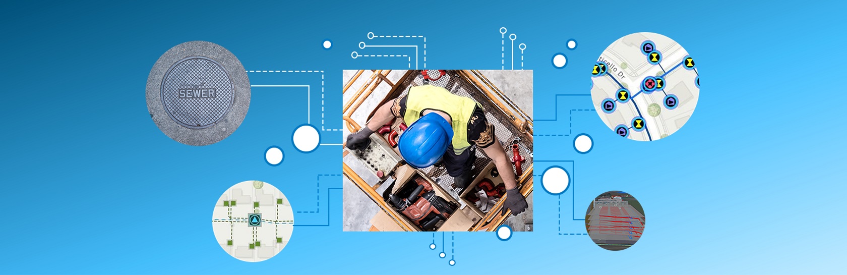
FIELD OPERATIONS
Support field workflows and enable office and field personnel to work in unison using shared data.
DATA COLLECTION & MANAGEMENT
Collect, store, access and share geo-enabled data.
IMAGERY AND REMOTE SENSING
ArcGIS gives you the tools and workflows to manage and extract answers from imagery and remotely sensed data.
3D GIS
Transform data into smart 3D models and visualisations to help you analyse and solve problems.
MAPPING
ArcGIS gives you the ability to create, use and share maps on any device.

INSIGHT: MIGRATING TO ARCGIS PRO
The countdown is on to migrate from ArcMap before it is retired. Here are the top concerns vs. reality to help you navigate your way to ArcGIS Pro.